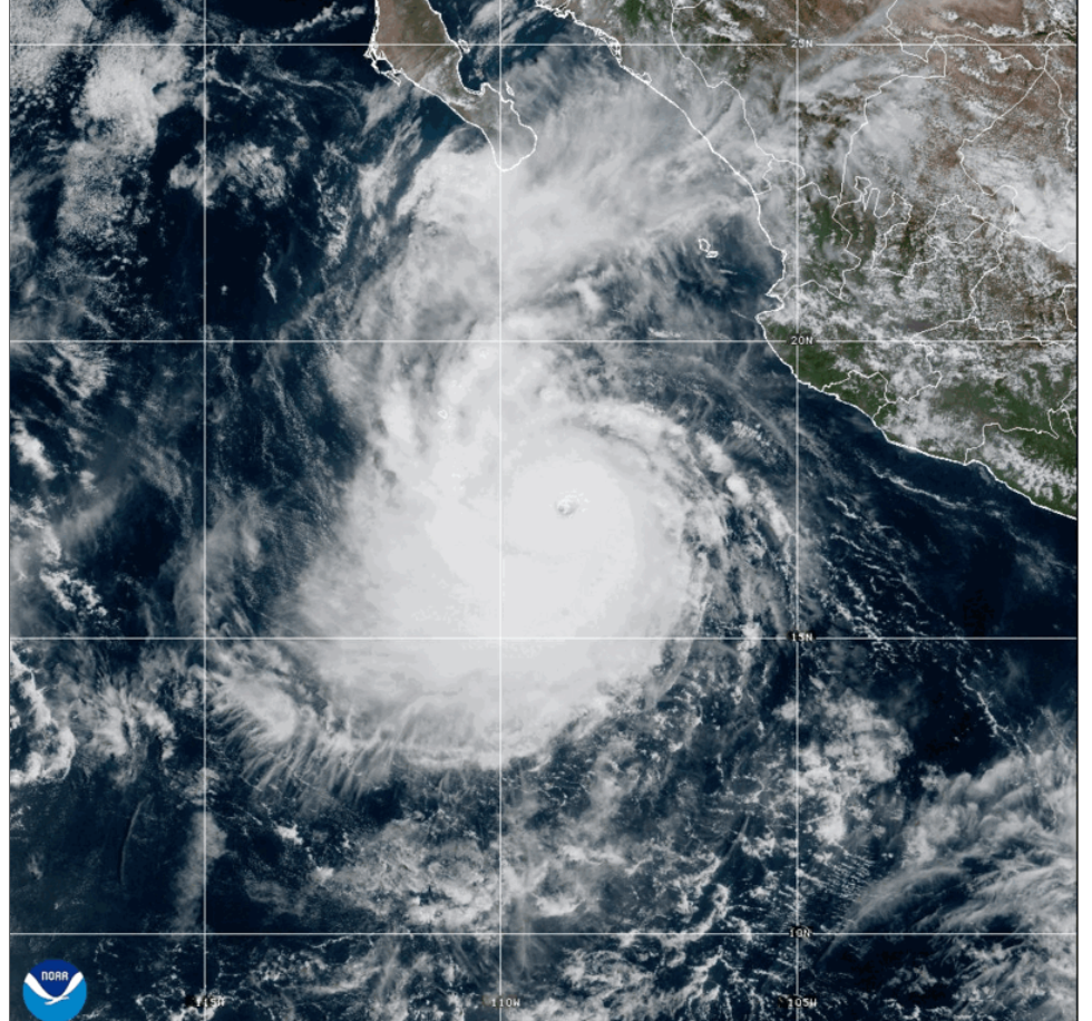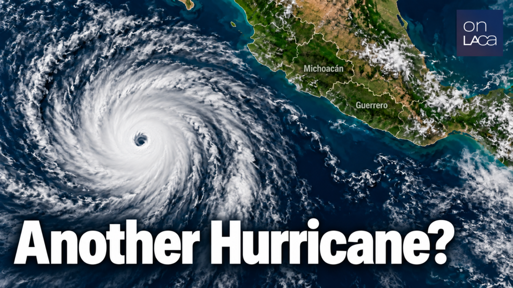
Hurricane Polo is getting closer to Southern California and in the wake of Hurricane Marie, areas like Long Beach are taking precautions already. National Weather Service Meteorologist Ryan Kittell advises, “The swells from Hurricane Polo will start to arrive on Sunday, and peak Monday and Tuesday. There is a 10-20% chance of some light rain on Sunday and Monday from some of the moisture of Polo.”
Kittel had this warning: “The biggest impacts from Polo, combined with the weaker tropical storm Odalys, will be risks for coastal flooding, high surf, and strong rip currents. The peak of the swell (Mon-Tue) will also occur when the high tides are high (around 7 feet). Combine this with the lingering effects in the wake of Hurricane Marie, where some areas have little to no beach left, and the risk for significant coastal flooding and beach erosion is enhanced. The areas of most concern include Long Beach (Peninsula and Belmont Shore), Avalon, Malibu, and possibly Santa Barbara Harbor.”
He also answered a couple of questions.
Q: Isn’t it unusual to have two hurricanes impact Mexico and Southern Cal so close together?
A: If you are referring to Marie from earlier this month and Polo…it is rare but it has happened before. This is the time of the season for Hurricanes in the eastern Pacific. If you are referring to Hurricane Polo and soon to be Hurricane Odalys, yes this is more rare to have two tropical systems, so close together in distance, both impacting our area around the same time.
Q: What effect does El Niño have in this hurricane scenario?
A: El Niño is enhancing the frequency of storms a bit, and also causing the tides to be higher than normal, which all enhances the risks for coastal flooding, but otherwise we do get hurricane swells every year.
From NOAA 6pm, Wednesday 9/23:
STRENGTHENING POLO NEARS CATEGORY 5 INTENSITY… …OUTER RAINBANDS BRINGING HEAVY RAINFALL TO COASTAL PORTIONS OF SOUTHWESTERN MEXICO… As of 6:00 PM CST Wed Sep 23 the center of Polo was located near 15.7, -102.3 with movement NW at 6 mph. The minimum central pressure was 929 mb with maximum sustained winds of about 155 mph.
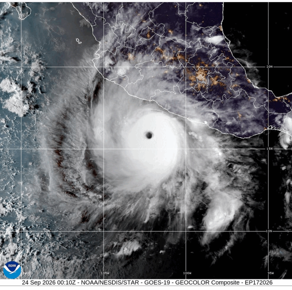
Credit: CIRA/NOAA